
CANAR offers professional Aerial Survey and Drone Mapping Services across the Kingdom of Saudi Arabia — specializing in DTM editing, topographic mapping, point cloud classification, orthophoto production and data processing.
Drone photogrammetry takes aerial photographs to produce a representative picture of a site or object — an orthophoto map, 3D model or topographical map. Drone surveys are specially adapted to terrains difficult or hard to reach.
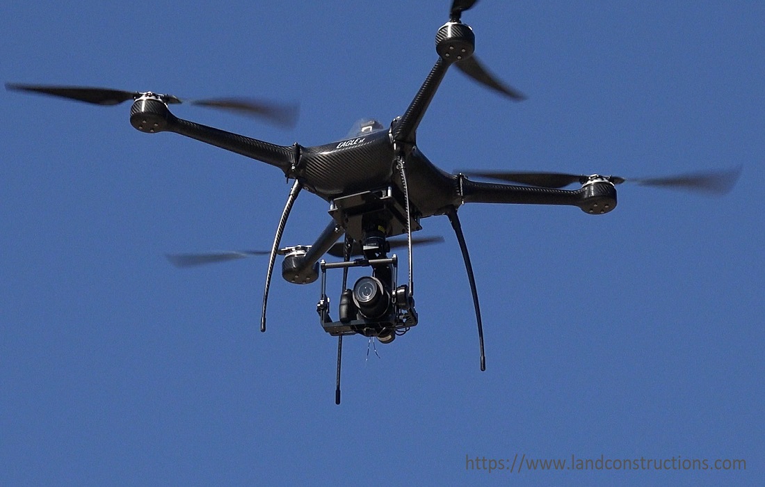
Fast & Reliable Drone Surveys
Aerial survey and drone services are a geomatics method of collecting, analyzing and interpreting data using UAVs and aerial equipment. The procedure integrates an aerial surveying drone, aerial software and equipment to produce a chart or map from the photogrammetric data of a region.
The ability to make accurate and repeatable flights over difficult terrains makes UAVs ideal for ground mapping. We supply high-resolution, accurate aerial services to land surveyors, engineers, contractors, quantity surveyors and developers.
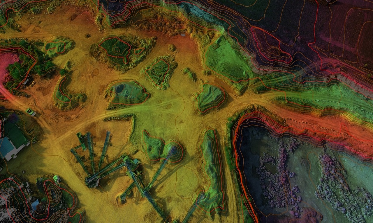
Lidar Survey Solutions
We use leading LiDAR technology — from fixed-wing aircraft for large area surveys to LiDAR drones for low-level high-density mapping. Typical uses include:
- Earth Surface Terrain and 3D modeling
- Volume surveys & Stockpile Survey
- Planning and design purposes
- Powerline and pipeline corridor surveys
- Floodplain and drainage studies
- Municipal valuations and urban planning
- Contours and GIS base layer development
Key Benefits
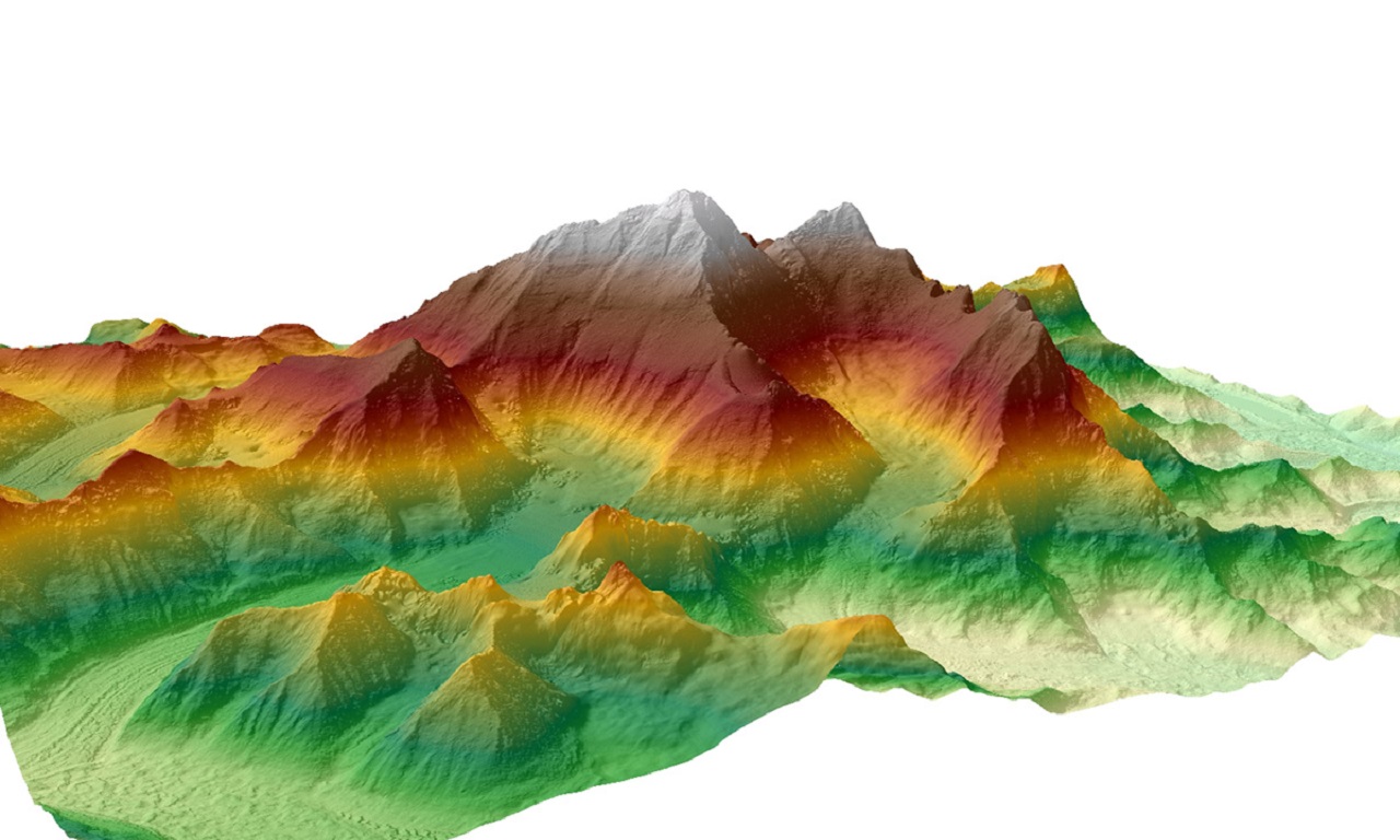
- Contour and Digital Surface and Terrain models (DXF)
- Geo-referenced Point Cloud (LAS, XYZ)
- High-resolution orthophotos
- 3D photogrammetric models
- Rapid mobilization and short turnaround