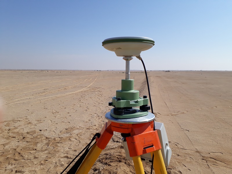
A Geodetic Control Survey network is a group of interconnected geodetic points that serves as the basis for carrying out benchmark (Coordinates and Elevation) measurements in engineering geodesy. Geodetic networks materialise the coordinate system (UTM, WGS84 etc.) on the site and allow measurements to be made with the required precision throughout construction.
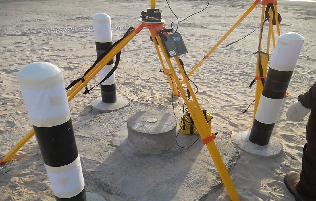
Measuring Angles, Distances and Height Differences
With data on the points of the national geodetic control survey network — using precise electronic instruments for measuring angles, distances and height differences together with GNSS instruments — the coordinates of any point in space can be determined with the accuracy allowed by the selected measurement method.
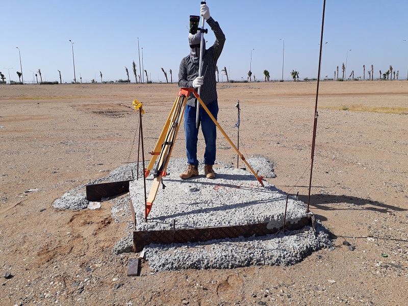
Network Types We Establish
- Primary GNSS control networks
- Secondary traverse and benchmark networks
- Precise leveling networks
- Vertical control and benchmark elevation
- Deformation and monitoring networks
- Project coordinate system establishment
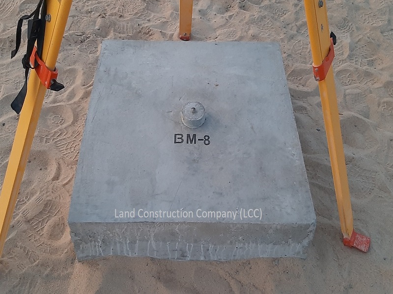
Gallery