
CANAR has a comprehensive understanding and a wealth of experience in surveying for mine quarries operating across the Kingdom of Saudi Arabia. We offer mining survey services for underground and open-pit mine sites.
Mining quarry and minerals are valuable resources that must be evaluated and managed properly. Our quarry surveyors help protect this asset by providing accurate data to aid decision-making. We have long-term contracts with major quarry and landfill operators to provide volumetric and update surveys.
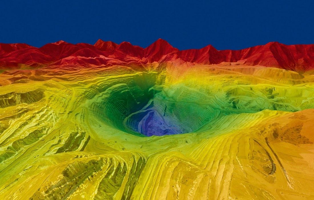
Surveying Services for Mining Quarries and Minerals
We provide product stockpile surveys, face updates using reflector-less instruments and independent volume verification for earthworks, stockpiles and mineral royalties. To improve time and cost-effectiveness we use 3D Scanning, GPS Survey and Aerial Survey Drone technology to produce ground terrain and topographic surveys of large sites.
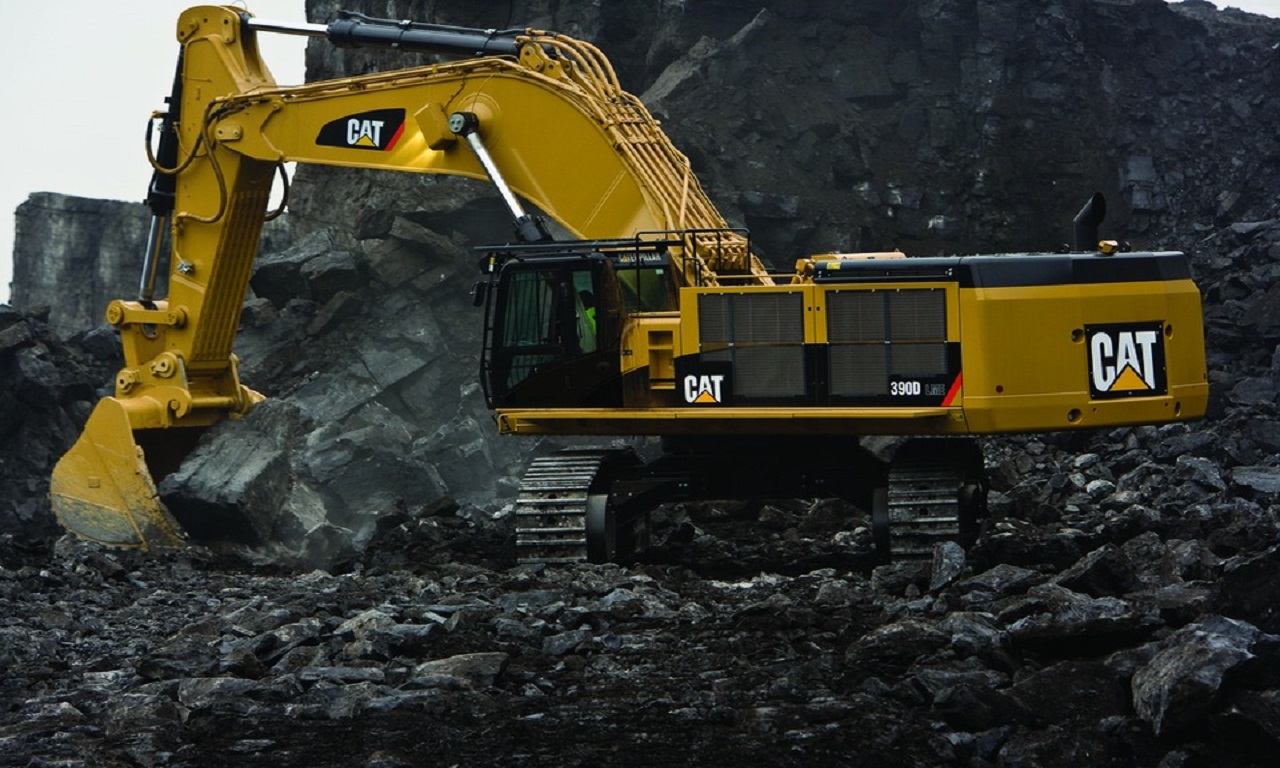
Our services for the Mining and Mineral Industry
- Volumetric Mining Survey of open-cast mines, quarries and stockpiles
- Slope Monitoring / Detection
- Rehabilitation Planning and Monitoring Surveys
- Exploration Surveys
- Aerial Photography
- 3D Laser Scanning
- Weekly Progress Surveys & Reports
- Contour and feature survey for mine design and planning
- Plant, pit and tailings dam set-out and as-built surveys
- Setting out of gridlines & Drill hole surveys
- Mine site construction and as-built surveys
- Borehole & Test hole surveys
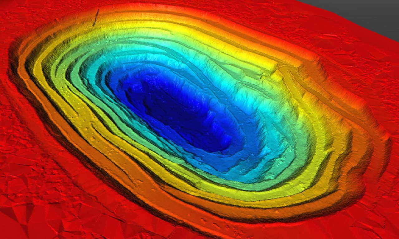
Volume Surveys
Volume surveys determine the volume of material excavated or fill quantities placed on site. We service small and large-scale earthworks projects and open-pit mining operations.
Autodesk Civil 3D, MicroStation, Carlson Survey and MicroSurvey software is used to calculate volumes and provide comprehensive reporting and map output, giving clients confidence in the results.