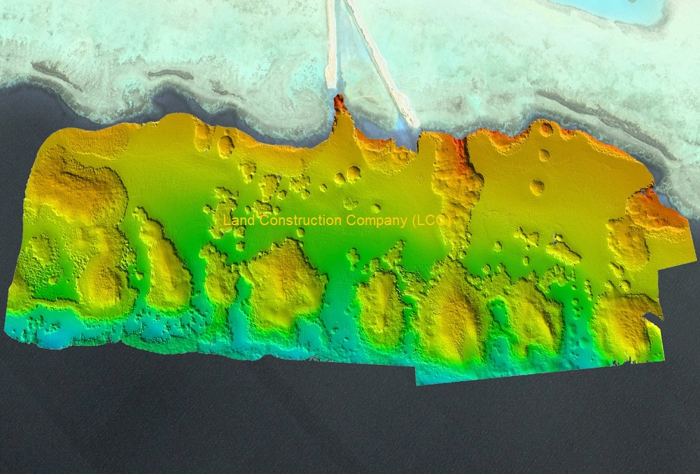
Our fast and accurate marine survey services help determine everything from depth to the bottom composition. CANAR provides Bathymetric Survey, Hydrographic Survey, Dredging Survey, Meteorological, Oceanographic, Marine Geophysical Survey and Environmental baseline studies for engineers, aquatic construction companies, government agencies and environmental professionals.
Hydrographic survey plans are delivered to requested scale and follow international Surveying and Mapping certification standards in the Kingdom of Saudi Arabia.
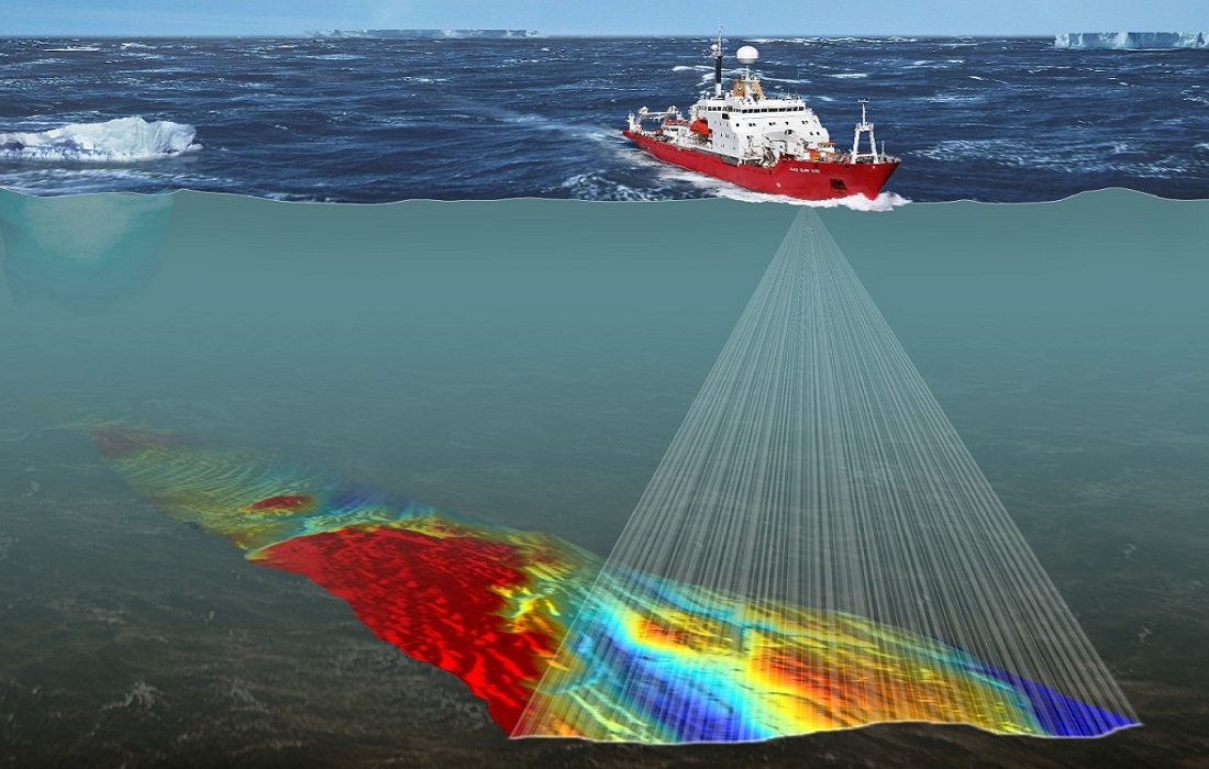
Oceanographic, Marine and Subsea Survey
A marine or hydrographic survey is an underwater topographical survey of a water body's bottom. It measures the depth of water and reveals the amount of sediment present below the surface — essential for dredging, port and coastal projects.
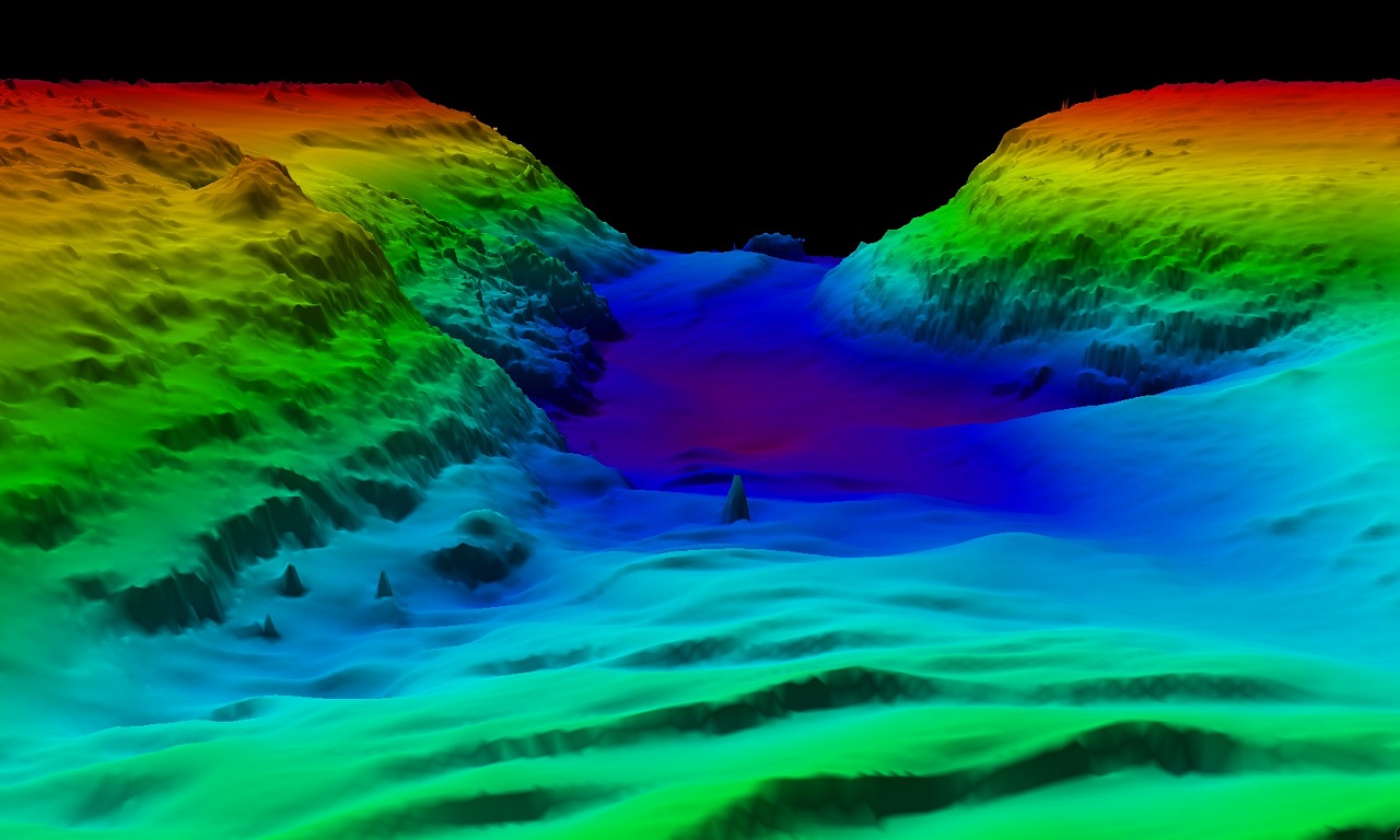
Our Marine Services
- Bathymetric and Hydrographic Survey
- Side Scan Sonar
- ADCP and current profiling
- Sub-Bottom Profiler
- Marine Geophysical Survey
- Meteorological & Oceanographic monitoring
- Environmental baseline studies
- Dredging support survey
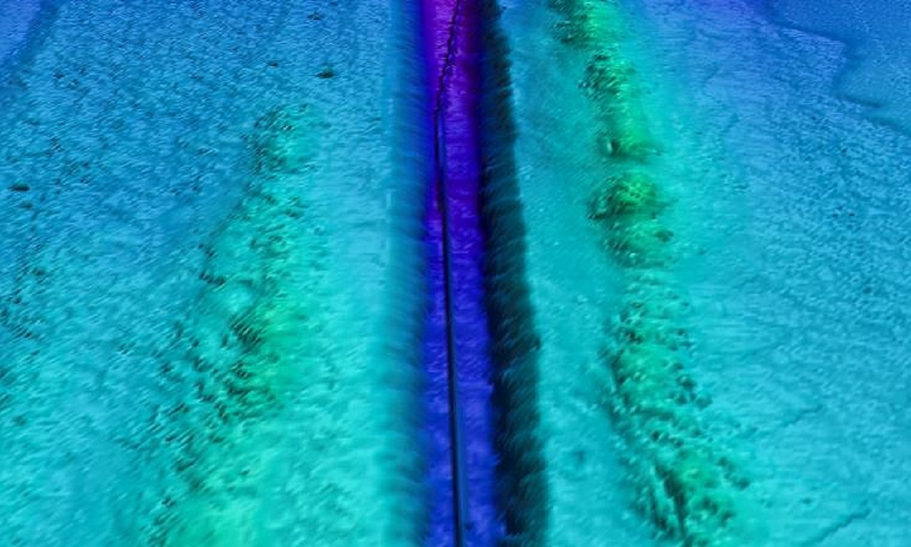
Why CANAR for Marine Survey
We combine multi-beam echo sounders, side scan sonar, sub-bottom profilers and ADCPs onboard purpose-equipped survey vessels. Deliverables are issued in industry-standard formats with full QA reporting.