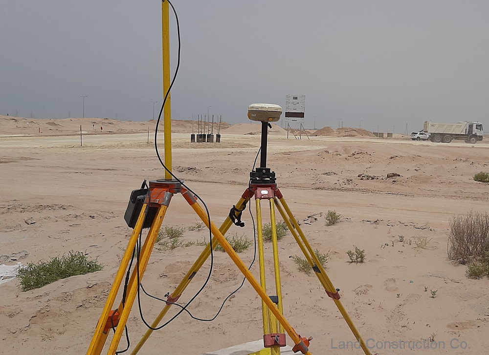
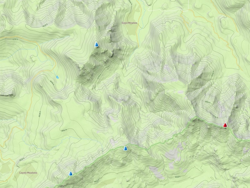
A Topographic Survey is commonly performed on vacant land. Unlike other types of land survey, the purpose of this survey is to map the contours, relief, roughness, shape, configuration and three-dimensional characteristics of the surface of the terrain. This can include trees, streets, manholes, utility poles and more. A topographic survey also determines required setbacks as well as information about surface and possibly underground utilities.
There are many types of topographical surveys we deliver including: Housing Society survey, Pipeline topographic survey, Building survey, Chemical plant survey, Residential Property surveys, Open or Desert Area Survey, Airport, Hospital, City and Village, Golf course, River, Roads & Highways, Railway and Sea Port topographic surveys.
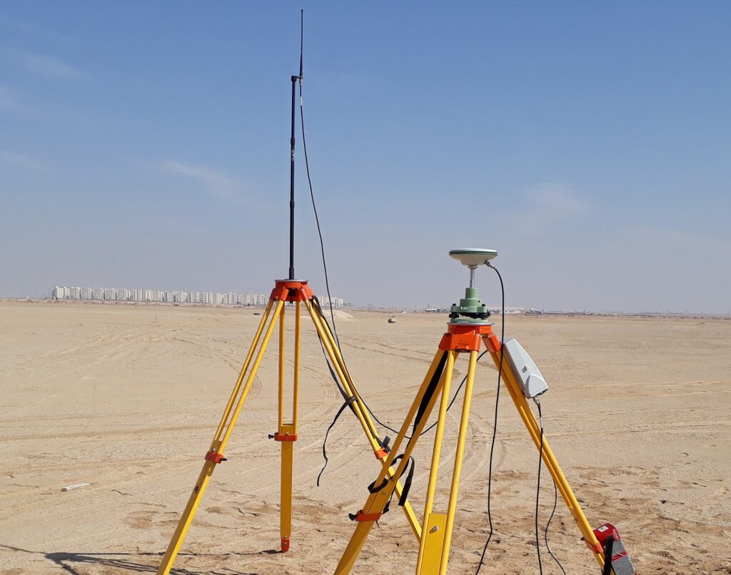
Topographic Survey and Mapping
CANAR aims to provide a professional service to clients who call for the services of a Topographic Survey. Architects, Engineers and Developers need precise information to plan site development from inception to completion. A comprehensive land survey provides not only the boundary and detail within a site but also potential restrictions and problems that may be encountered.
The latest survey technology is used — Leica, Sokkia and Trimble GPS & Total Stations. In open spaces we use GNSS receivers; in industrial areas a robotic total station is used to measure horizontal and vertical angles and sloping distances. When an area is inaccessible or dangerous to collect data, we use reflector-less technology.
Data is processed on a computer to produce the final drawing in AutoCAD. We provide Land Survey, Earthwork and Land Construction services across the Kingdom of Saudi Arabia.
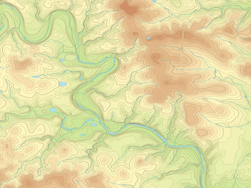
Latest Topographic Survey Projects
Road, Pipeline, Industrial Plant, Residential & Wadi Topographic Survey
- Topographic Survey at Prince Mohammed bin Salman Reserve in Duba
- Topographic Survey at SABIC Hadeed Plant in Jubail
- Topographic Survey at Jubail Industrial Port in Jubail
- Topographic Survey at Ad-Diriyah Creative District JAX 01 in Riyadh
- Topographic Survey at Umluj Cable System Red Sea Project in Umluj
- Topographic Survey at King Fahad Causeway Road in Al-Khobar
- Topographic Survey at ArRabiya Sewer Aramco Project in Dammam
- Topographic Survey at Qurayyah Power Plant in Abqaiq
- Topographic Survey at Future City Project in Riyadh
- Topographic Survey at TUWAIQ Casting & Forging Facility Project in Ras Al Khair
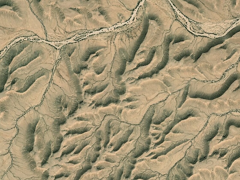
Benefits of a Topographical Survey
An accurate survey prevents costly assumptions being made about the size of the site or about other constraints such as site levels, heights and positions of surrounding buildings.
- Identify existing conditions and issues with a site.
- Illustrate how building features can be constructed electronically using AutoCAD.
- Demonstrate any obstacles that may cause problems with the site's development.
- Provide information that helps designers create suitable designs fitted to the specified land.
What to expect from our topographic survey
Detail is accurately measured and the deliverable is issued to meet client-specific requirements or Saudi Arabia standards — from simple 2D plans to detailed 3D AutoCAD or MicroStation drawings. To ensure the highest quality control, our surveyors edit their own surveys to ensure all detail is recorded and presented correctly.