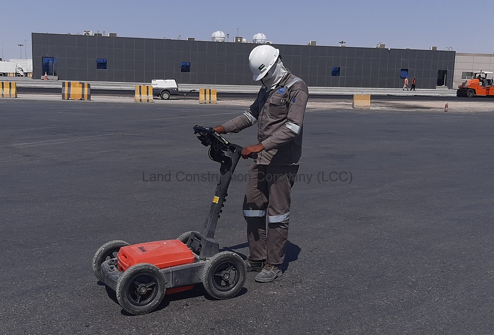
Whether you are looking to locate existing underground utilities, pipes and cables — or want to plan the safe placement of new infrastructure — CANAR has the underground mapping solution. Depending on your project we offer pipe & cable locating, Concrete Slab Scanning, Cavity Grouting and Ground Penetrating Radar (GPR) Survey services.
Using precision pipe and cable locators in combination with GPR technology, our team can induce, detect and trace underground utilities, cavities, pipes and cables prior to any subsurface work. All work follows international and Kingdom of Saudi Arabia standards including ASTM D-6432.
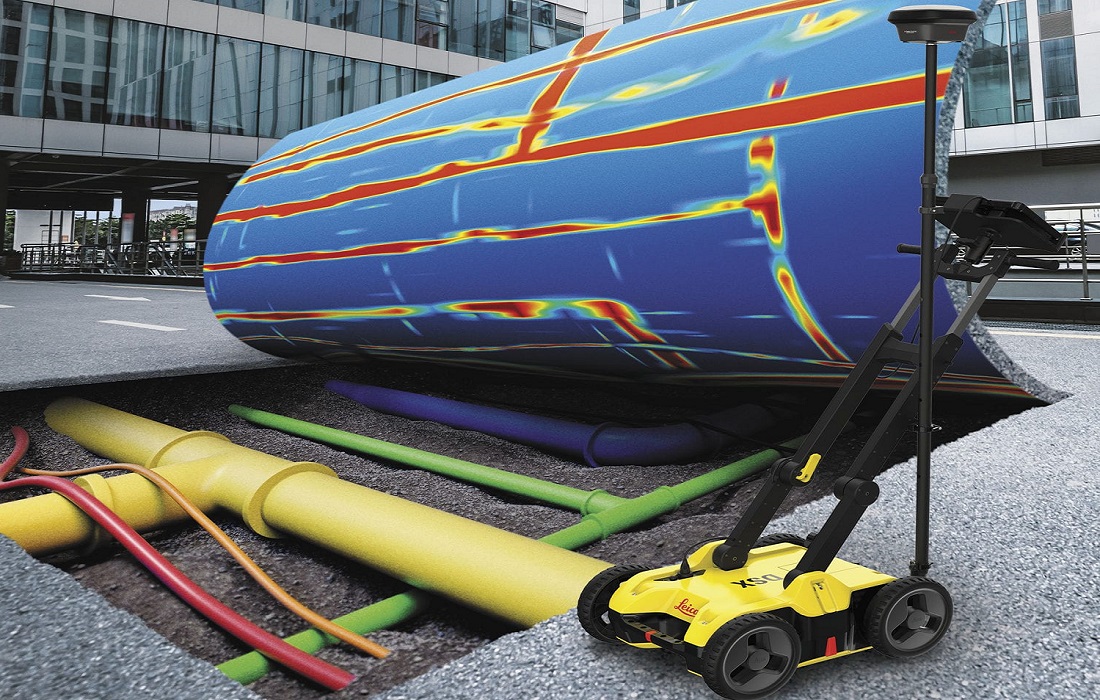
Underground Utility Survey and Concrete Scanning
We combine multiple technologies to maximise detection accuracy and reduce risk during excavation, demolition or drilling on existing slabs.
- Ground Penetrating Radar (GPR)
- Electromagnetic Locators (EML)
- Utility tracing and mark-out
- Concrete slab and structure scanning
- Cavity detection and grouting support
- CAD and PDF deliverables
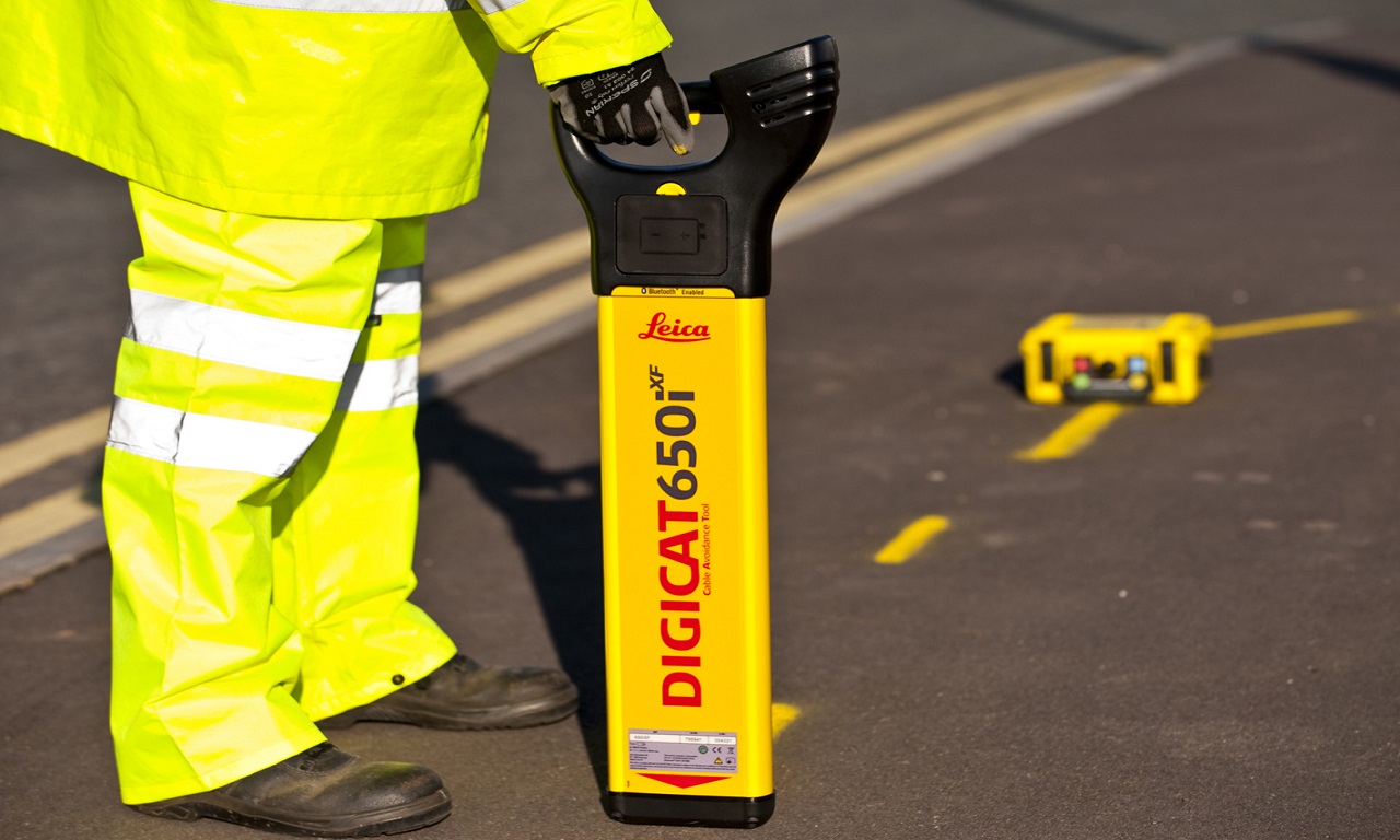
Why CANAR for GPR
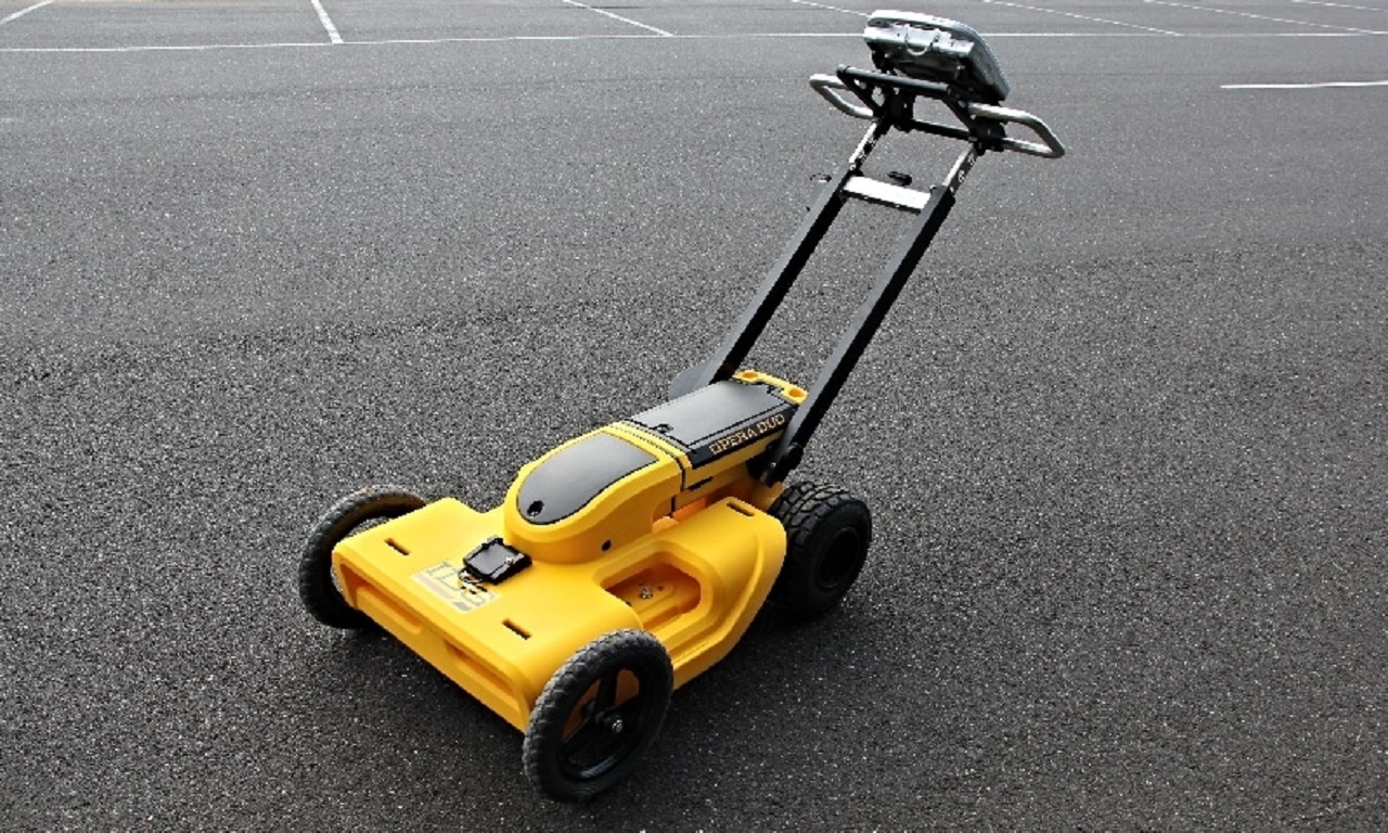
Our surveyors are trained on the latest dual-frequency GPR systems and EML locators. Outputs are presented as AutoCAD utility maps and annotated PDFs with confidence levels per detected service.
Gallery