
Geographic Information System | GIS Mapping, ArcGIS Services, GIS Remote Sensing and GIS Data Conversions Services allow us to capture, store, analyze and display geographic information. Various types of analysis can be performed and visually displayed through overlaying, merging or joining different types of spatial and tabular data layers.
GIS is used in many aspects of county and city day-to-day business — planning and development, emergency services, public safety, property assessment, displaying school, fire and voting districts.
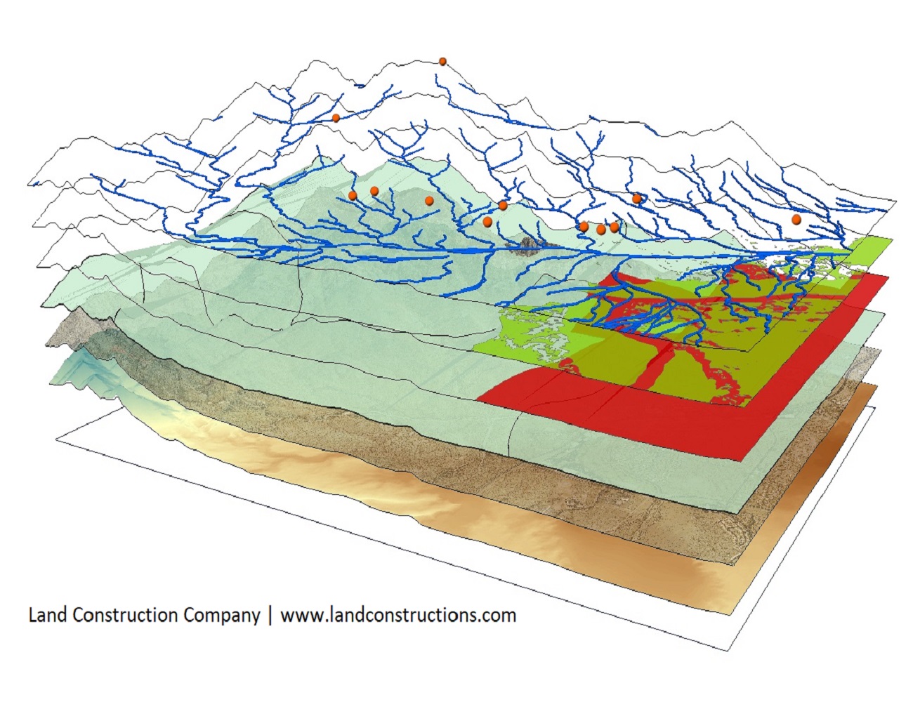
Geographic Information System
By integrating GIS, Computer-Aided Design (CAD) and Global Positioning Systems (GPS) using high-end GIS Mapping and GIS data conversion software, our GIS Services help customers produce contour maps, spatial maps, atlas maps, cadastral maps, thematic and zonal maps, landscape and environmental maps for industries such as mining, utilities, agriculture, petroleum pipelines and town planning.
We offer GIS mapping services throughout the Kingdom of Saudi Arabia to architects, planning consultants, utilities, developers, builders and local authorities. Maps created with ArcGIS software can be printed and used to support written documents or provide visuals for project meetings.
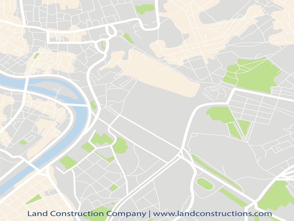
Estate Mapping & Plan Design
We help you visualize your assets more effectively by mapping them onto a Geographic Information System. Using ArcGIS we digitize your land titles onto the latest GIS Survey maps and create an associated table of contents to visually represent your landholdings.
Many layers can be created to provide a full database of company assets — ownership, tenancies, utilities, easements and so on. All plans, reports and schedules are emailed in ArcGIS Mapping, AutoCAD and PDF format.
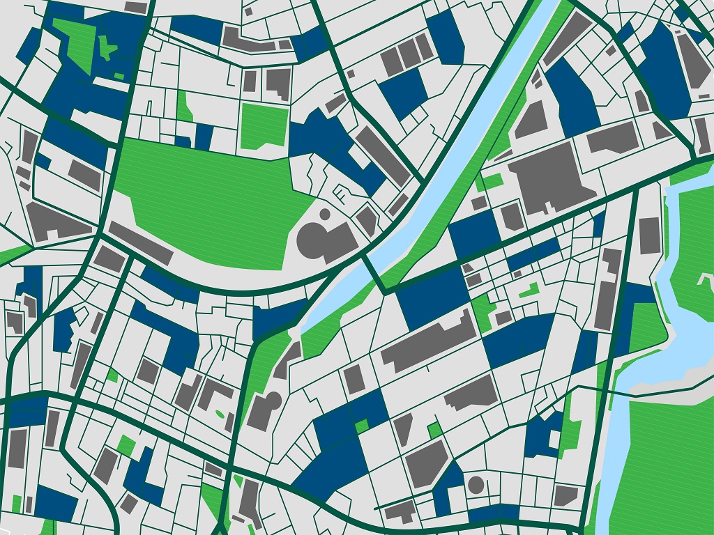
Topographic Mapping and ArcGIS Services
Topographic mapping serves the purpose of viewing the arrangement of changes on land created by land cover, railway tracks and roadways. We employ modern processes and a professional team of technicians for fast, accurate delivery.
- Engineering and Architecture purposes
- Defense and Security
- Infrastructural services
- Route planning
- Geographical representation of thematic data
- Telecom and Transport services